I had a good breakfast and took lots of water with me. I arrived at the trail head to find 2 cars from BC and 1 truck from the Yukon.
I didn’t see anyone else on the trail while I was gone. I left at 9:30Am and arrived at the top at about 11:45 AM where I relaxed and lied on some rocks in the sun. Time to get to the bottom was 50 minutes, much shorter than the trip up. In total on the trail I did 18 caches. This is more of how I like to cache. Find a trail with caches on it and start hiking.
The Boo Hoof Cache.
Someone was funny at this cache, they moved the black tin can to about 12-15 feet above ground that is suppose to be on the cache at the 5 foot level. If you look at the top middle you can see the lid of the can.
I then left the cache headed for the next cache but when I got close I found out my GPS wasn’t with me. I had to go back and try and locate my GPS, I did find it after looking at many rock faces.
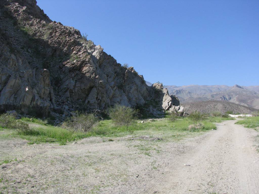
- While the signs say no motorized vehicles’ it appears no one pays any attention to that.
- I left my GPS is up there somewhere
- This cache was called Poky Mon and for good reason, more cactus….
- If we continue we enter wilderness. There is a sign to the left of this picture that says take water. I thought this is a fine to tell me this, I am about 2 KM up the trail.
- Someone didn’t go home the way they came
- This is the view looking up at the end of the trail at the last cache.
- This was looking back down the trail from the last cache. Indio is in the distance and the Salton Sea on the right side in the distance.
- It is rough after a hard day caching but this is what I got to come back to.
What I did learn this time is don’t believe the maps on www.geocaching.com Just look at some of the caches around Palm Springs and you will see roads etc. then look at the satellite view, see any roads? The same thing happens with the GPS as it shows roads that may be there at some point and time but there is no road. Very tough trying to get somewhere to cache. I took this photo half up looking up the valley towards the top. The hike today was about 4.5 KM round trip and about 3:50 min. It was not as scenic as some other hikes I have done here but none the less I have now completed it.
Tomorrow I head for the coast and San Diego. I am going to try and cache along the way.
Some ask why I like to cache here. It is funny but I did my very first cache here. I didn’t do it back in BC. I am told that could be a record for one’s very first cache. I like the variety of hikes and the weather at this time of year. We just don’t have anything like this in BC that I have found.


