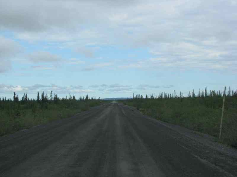
I woke up today and the problem for the day is the Dempster Highway is closed for 255 km due to rain and washouts. It is closed till further notice. So what does this mean, nothing comes or goes till it opens unless you want to pay top dollar to fly it out or in or fly out yourself.
We would wait till later in the day to see exactly what Yukon Highways would say after initial assessment.
We would now head out down the Demster Highway for about 30 km with the geo-dogs and grab a couple of caches.
We arrived at the trail head for Gwich’in trail cache and headed off soon to be met by a flooded trail. I went right onto the tundra and carried on with Nevgar and Mrs Nevgar and the geo-dogs. Didn’t take long before we arrived at the cache site.
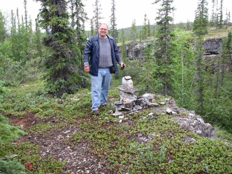
Next we were off to Kaia’s Cache further up the trail. Upon arriving we came to a great look out. From there we still had about 80 m to go to the cache. This cache was down a few benches of rocks and the one thing neither Chris and I wanted to do was fall. There is no cell service here.
I got down to the cache area and located the cache pretty quickly and Chris showed up in time to sign the log. As is always true when caching we found an easier way back up than we took going down.

view from Kaia’s Cache cache. The sun would have been much better but oh well. – click for larger view
From here we walked back to the geo-escape and headed back towards to do a few more caches along the way. We stopped at Jak Park and there is a look out there as well as a cache called 33 degrees at midnight. We climbed the look out and saw what was around Inuvik – water and more water. Once arriving back at the bottom I looked around for the missing cache while Chris took the geo-dogs for a walk. I located the exact location of where the cache should be and I knew exactly what the container was. I signed the post and told Chris I had found the cache and logged it. It went over and said there is no way I could have it is missing, so I told him what it was and where it was and showed him where I signed it. He shook his head and walked away. The cache owner did let me have credit for this cache for doing this.
From here we left and headed north out of town to the literal end of the road to do a cache called The very End of The Road. There isn’t much up here and the road getting here is half the battle.

Geo-Escape at the end of the road and most cars up here are that dirty. Note the licence plate shape.
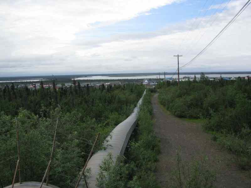
On the way home we stopped so I could take a photo of a Utilidor. Utilidors are above-ground enclosed utility conduits that are used in larger communities in the northern polar region where permafrost does not allow the normal practice of burying water and sewer pipes underground.
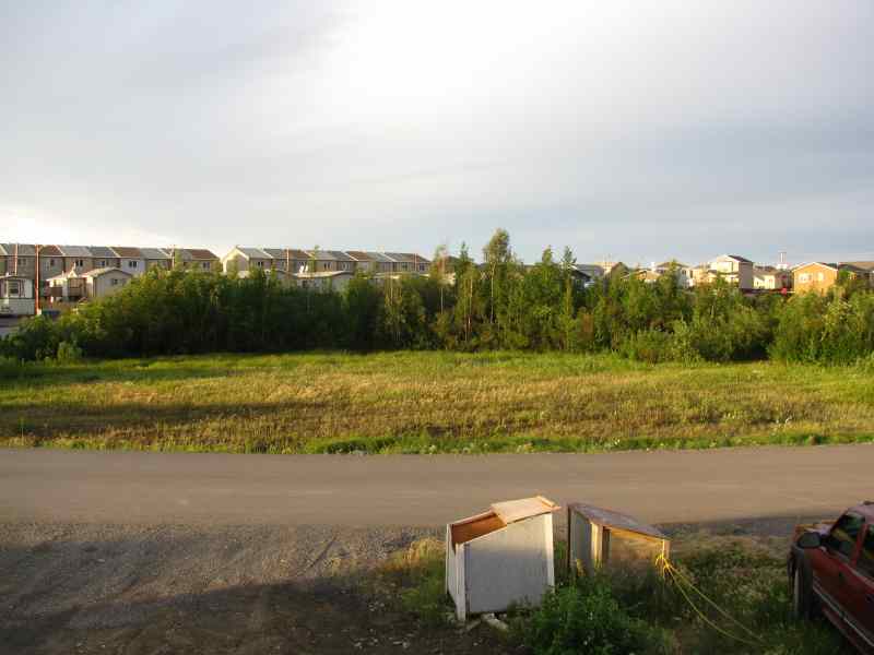
Here is a photo of what the area looks like at 1:00 AM with the sun.
Tonight we checked the highway report and things are not looking promising. I said look I need to book a flight tonight for Friday as Friday is the only day with seats. We can’t chance the fact that the highway “may” open tomorrow. That was done at a cost of about $475.00 one way to Whitehorse.

